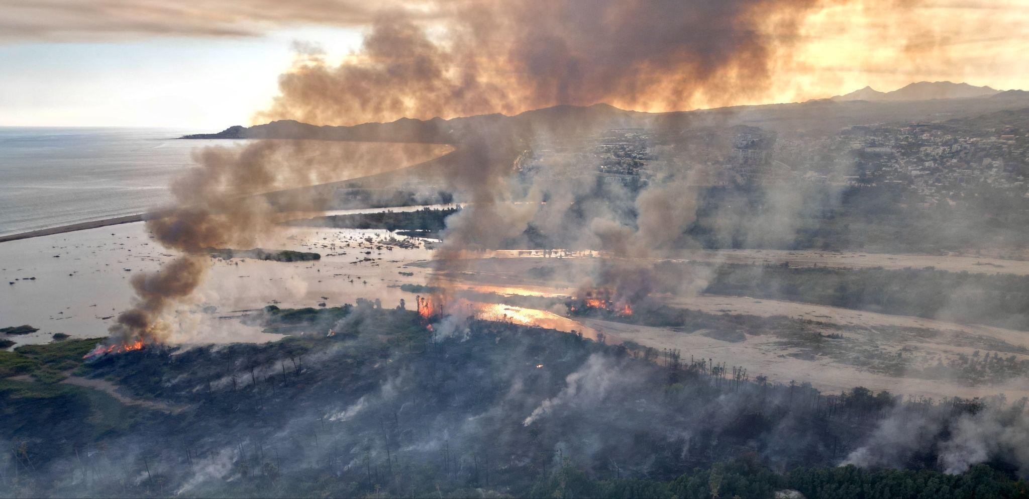
An international design challenge for a birding outlook and scientific observation platform at the Añuiti Estuary
Art and ecology as a single, inseparable act of regeneration.
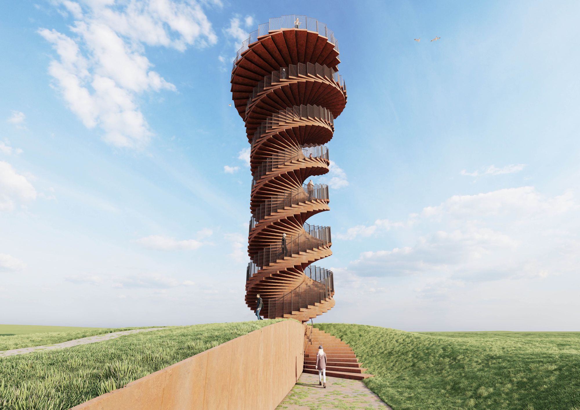
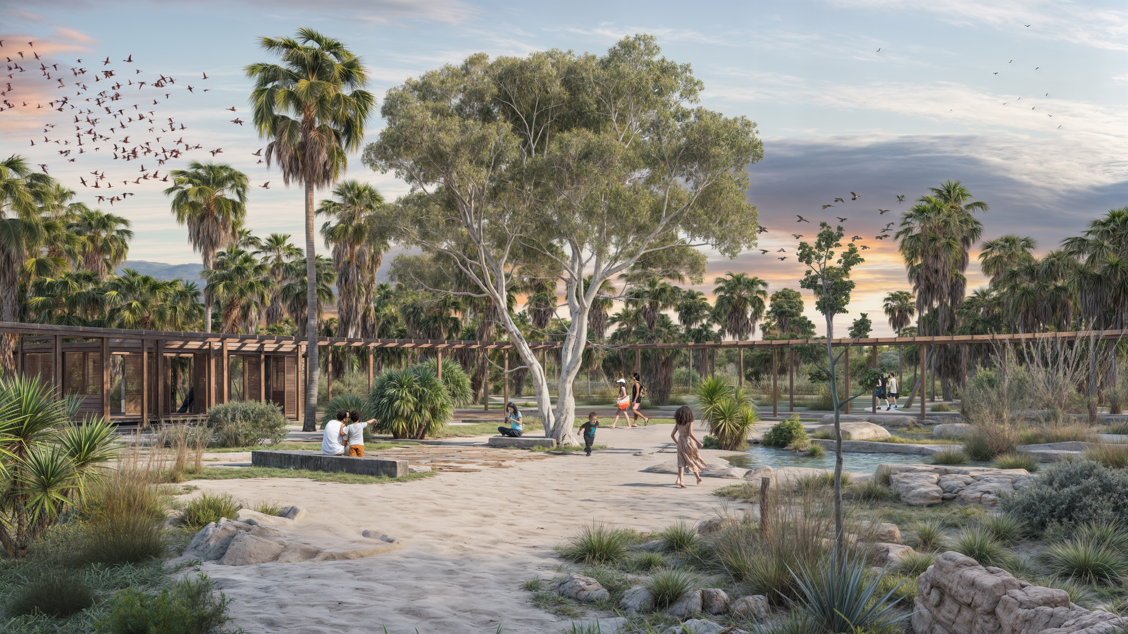
The Añuiti Estuary restoration plan calls for birdwatching structures. The question is what they become. The vision — still forming, still community-owned — is that these observation structures could be extraordinary: landmarks that make an invisible ecosystem visible, designed by artists who know this place or are drawn to it. We are at the beginning of that conversation.
This is the beginning of a five-year capital campaign for the estuary's restoration — with the municipality and four research institutions already committed.
Art, culture, and community engagement are strategic instruments embedded in the plan from the start. Public art is a catalyst for the larger restoration effort: it draws attention, builds civic identity around conservation, and establishes lasting cultural infrastructure. It makes the invisible work of ecological regeneration tangible and public. It gives people a reason to come, to return, and to care.
The Osprey Posadero Design Challenge — named in honor of the osprey, a fisher eagle that embodies collaboration and land stewardship across territories — invites world-class designers and architects to propose a landmark structure at the edge of the estuary.
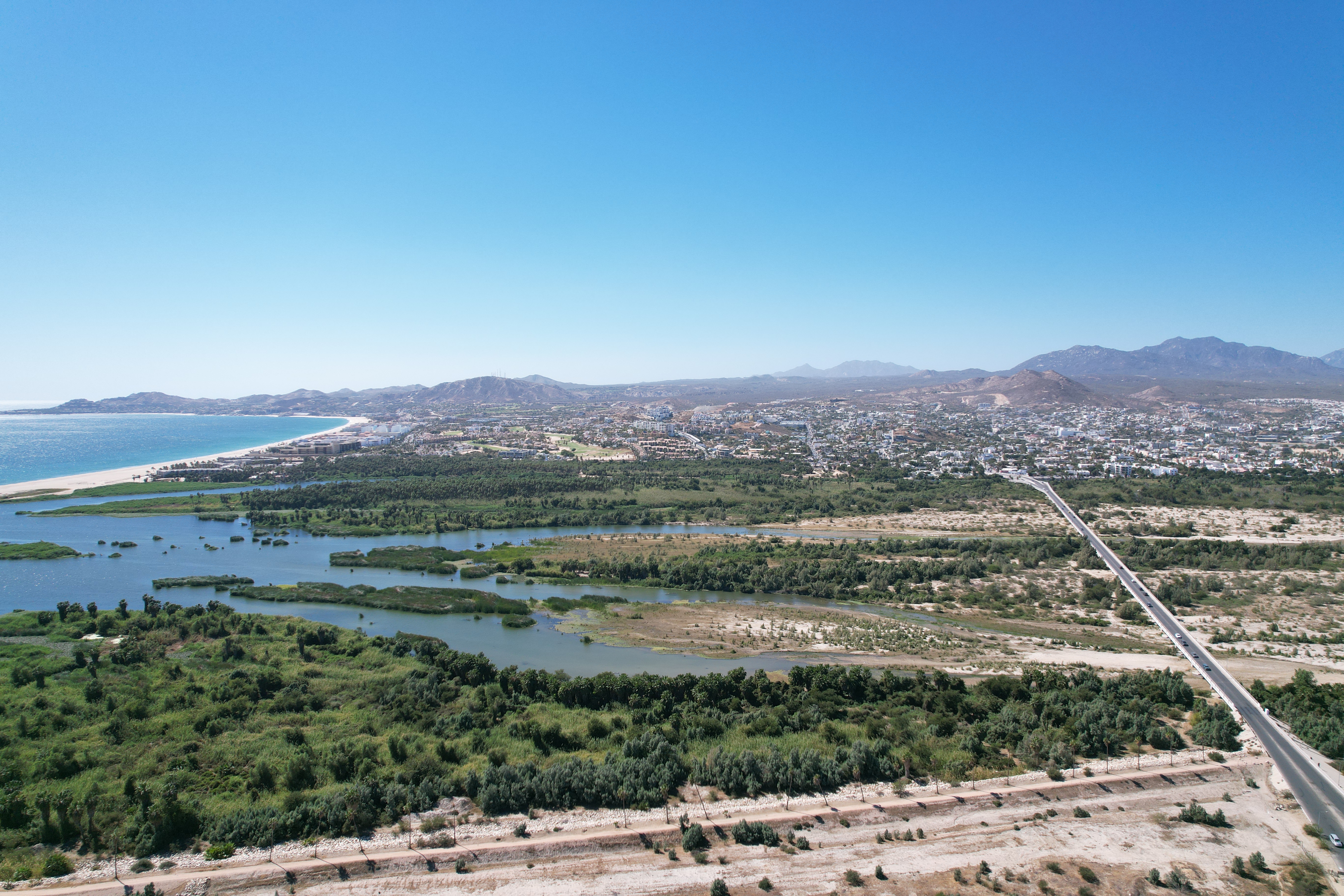
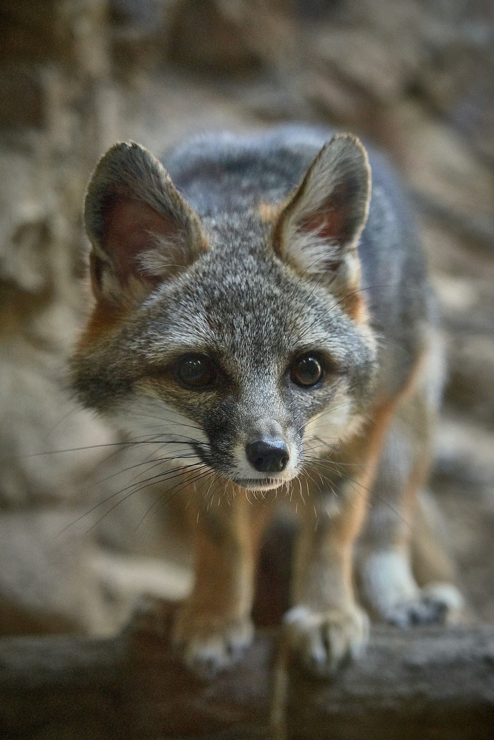
This estuary hosts one of the highest concentrations of ospreys, both resident and migratory, making it a critical node in their annual journeys and a living connection between ecosystems.
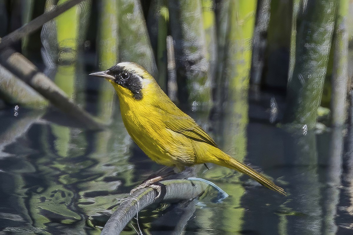
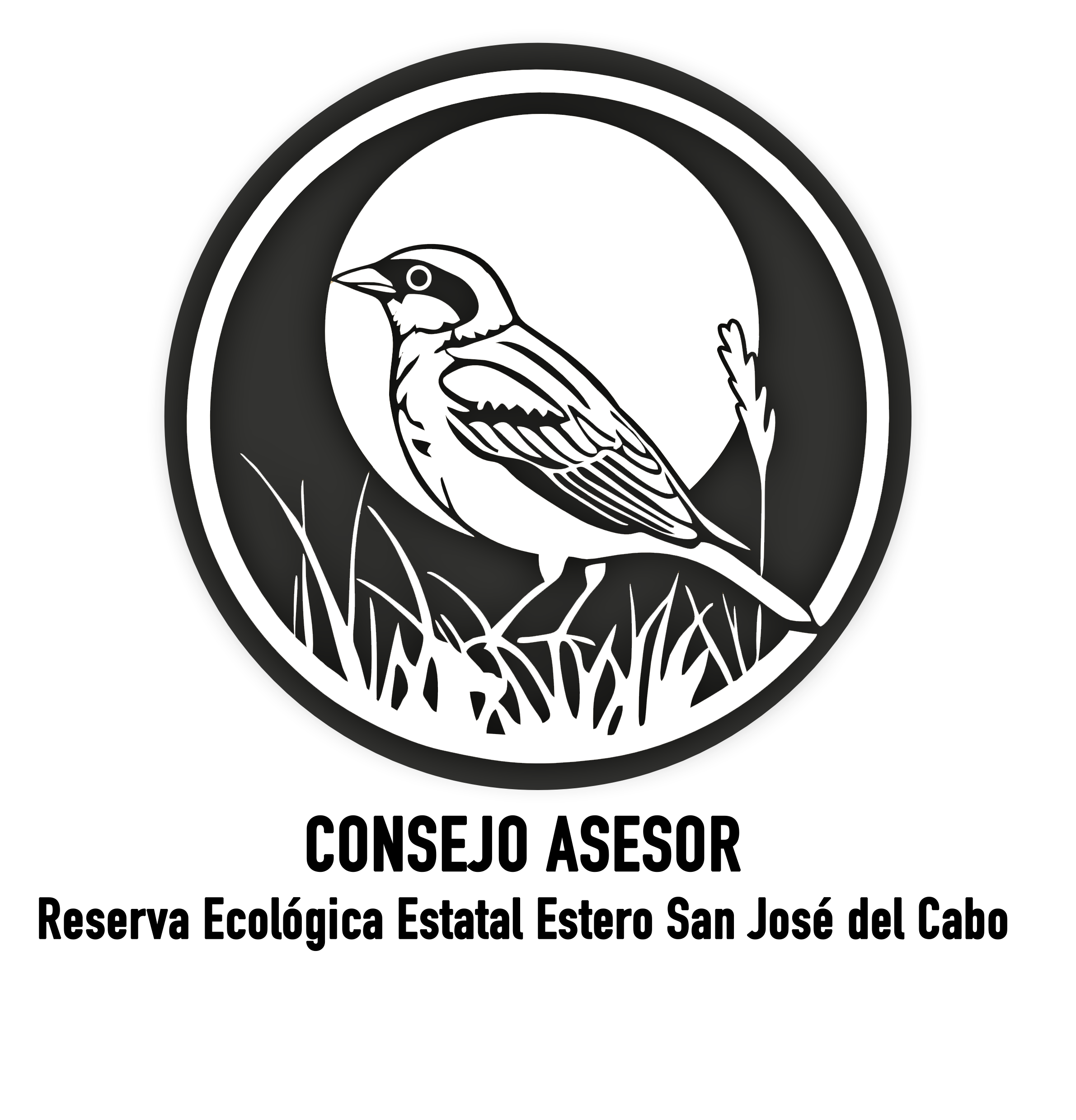
The challenge calls for the creation of a birding outlook and scientific observation platform that integrates public access with research infrastructure, enabling long-term monitoring of the entire ecosystem — especially its avifauna, including endemic species such as the Mascarita (Belding's Yellowthroat), found nowhere else on Earth.
BIG's Marsk Tower in the Danish Wadden Sea is the direct inspiration for the Osprey Posadero Design Challenge. A single sculptural structure that increased regional visitation by over 200% and anchored a UNESCO heritage site — proof that a landmark observation structure can transform a landscape's relationship with the public.
The Añuiti Estuary has the same opportunity — a birding outlook and scientific observation platform that becomes the reason people come, the reason they stay longer, and the landmark that puts the estuary on the map.
The estuary is the heart of the city — the final place where everything that happens across the watershed comes together. A 1,455-acre State Protected Area at the center of one of Mexico's fastest-growing tourism economies, it is the living filter that protects the aquifer, the buffer that absorbs hurricanes, and the cooling system for a city built on desert.
It is also a Ramsar wetland of international importance, home to 295 bird species, a critical stopover on the Pacific Flyway, and the ecological center of the region's recent designation as a Bird City. The largest remaining coastal freshwater wetland in Baja California Sur — and almost no one knows it's there.
The estuary is in ecological crisis. Decades of upstream erosion, sedimentation, contamination, and climate change have shrunk the water mirror by an estimated 70%. Each stressor fuels the next. The system is in a self-reinforcing cycle of decline. This is not a nice-to-have conservation project. The estuary is the living filter that protects the aquifer, the buffer that absorbs hurricanes, and the cooling system for a city built on desert. Without it, the city's infrastructure fails. The restoration works upstream to downstream — reforesting degraded slopes, removing invasive species that drain the aquifer, and restoring the estuary that is the system's terminal expression. It is transformational infrastructure for the future of Los Cabos.
The watershed feeds the aquifer. The aquifer supplies Los Cabos. The estuary is where it all comes together — and where it's all breaking down. This is not a conservation project. It is the water security, flood infrastructure, and economic foundation of a city of 700,000.
Wastewater dumping. Invasive species — salt cedar, water hyacinth. Cattle grazing, trash dumping, sedimentation, climate change. The estuary's water mirror has shrunk by an estimated 70%. Each stressor fuels the next in a self-reinforcing cycle of decline.
The aquifer has been in deficit since 1985 — overextracted by 3.4x. Only 5% of rainfall converts to recharge. Los Cabos — 244% population growth in 42 years, projected to reach 700,000–800,000 by 2040 — depends on this watershed for water security, hurricane and flood buffering, and natural cooling.
An avian airport — the Pacific Flyway's last refueling stop between the Arctic and Patagonia — a continental service station for millions of migratory birds. The Belding's Yellowthroat, a genetic vault found nowhere else on Earth. Western Monarchs and Painted Ladies depend on this corridor. The birds and insects that stop here are critical pollinators for the ecosystems they connect. What happens here echoes across hemispheres.
The restoration plan works the entire system — reforesting degraded slopes to slow erosion, removing invasive species that drain the aquifer, and restoring the estuary that filters and holds the water the city depends on.
Two years of independent scientific assessment. Four research institutions. A 429-page Management Program ratified into municipal law by the City Council of Los Cabos in October 2025. Over $1.4 million already invested. The Municipality has committed public co-funding and designated 2025 as "the Year of the Estuary." Phase 1 is fully funded.
Funders are invited to shape what rises from this landscape.
December 2026: the artist reveal. Early 2027: the first observation structure rises from the landscape.
Get in touch Learn more